Surveying and processing
Surveying and processing of photogrammetry and laser scanning data
How We Work
We provide services for surveying the construction sites and infrastructure using modern land surveying equipment, laser scanning and photogrammetry. We perform geo-referencing, processing and classification of data, as well as 3D modeling of sites based on the information gathered.
-
01
We determine the laser scanner position.
-
02
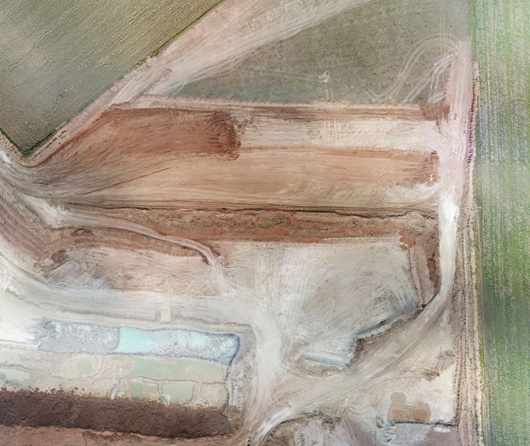
Following the processing of digital aerial photography materials, we compile orthophotomaps.
-
03
Orthophotomaps are particularly required for geodetical,topographical, geological, hydrological, environmental surveying work, land management, architectural and civil engineering and control of construction and installation activities.
-
04
The work is performed using both manned carriers and unmanned drones.
Contact us
